
Services
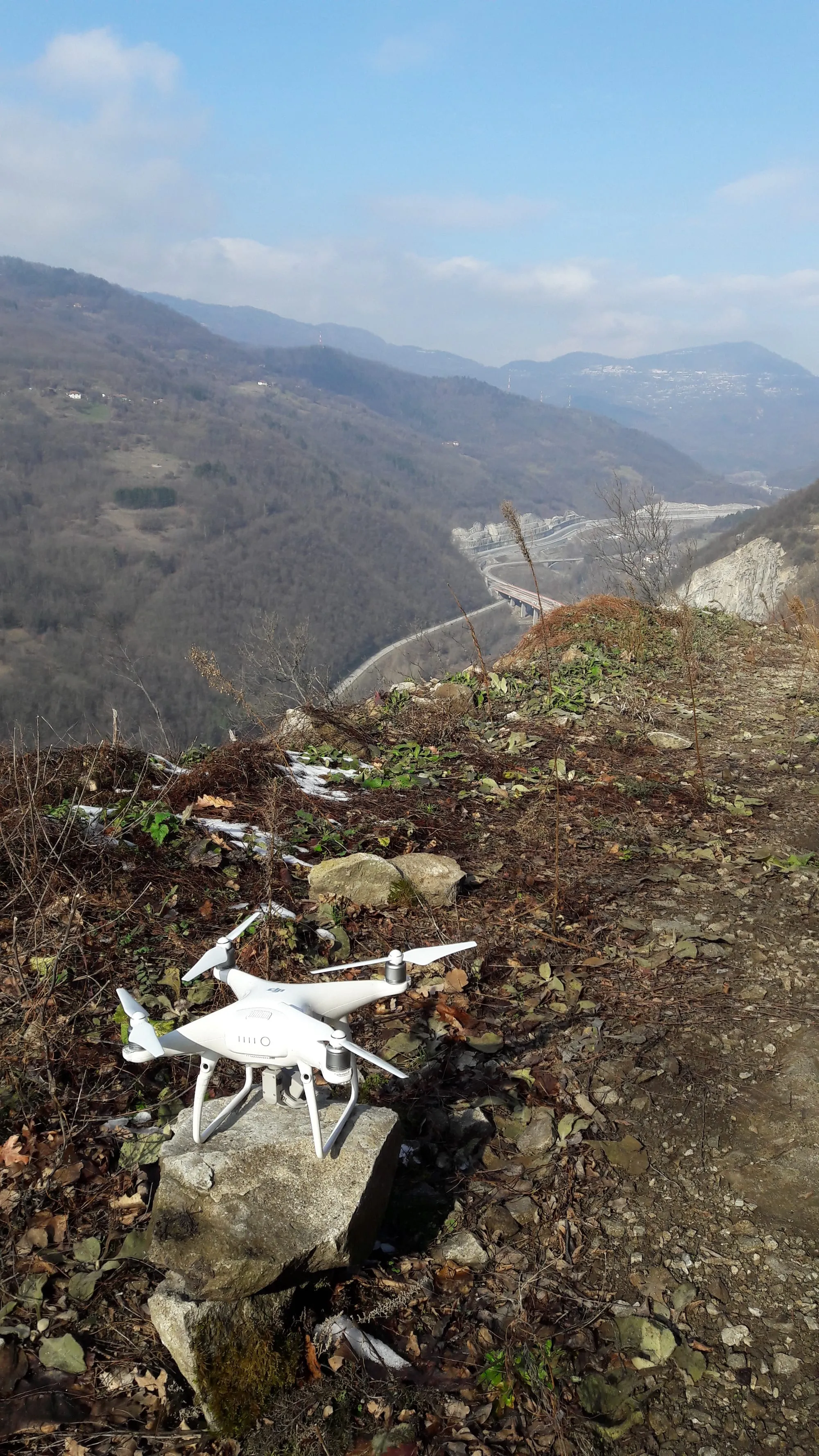
Drones and 3D models
Aerial survey, 3D models of pits and structures, orthophoto and site maps.
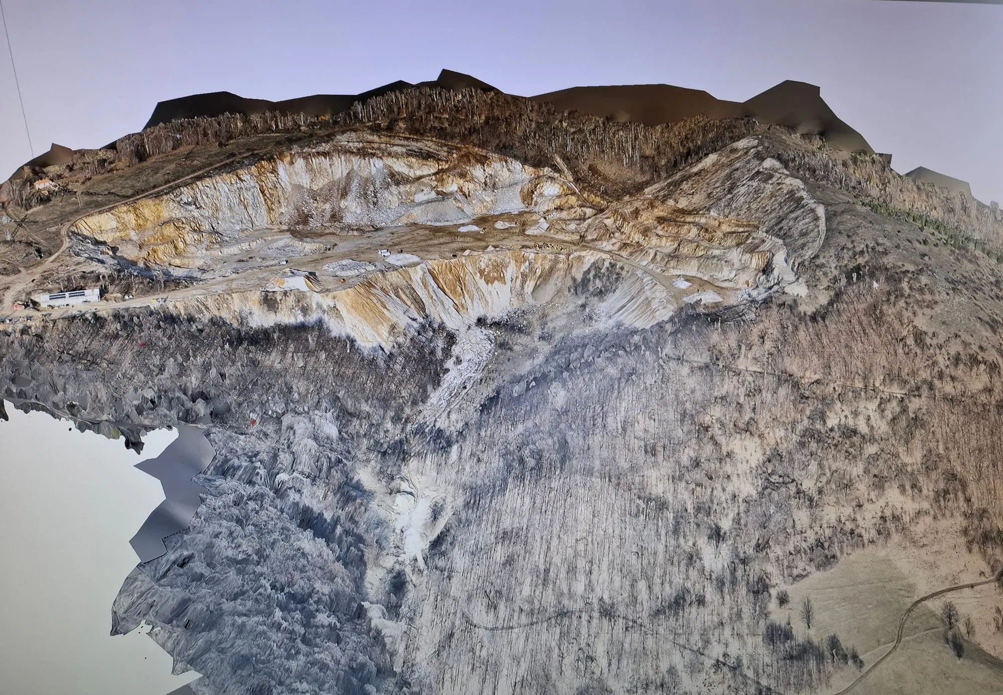
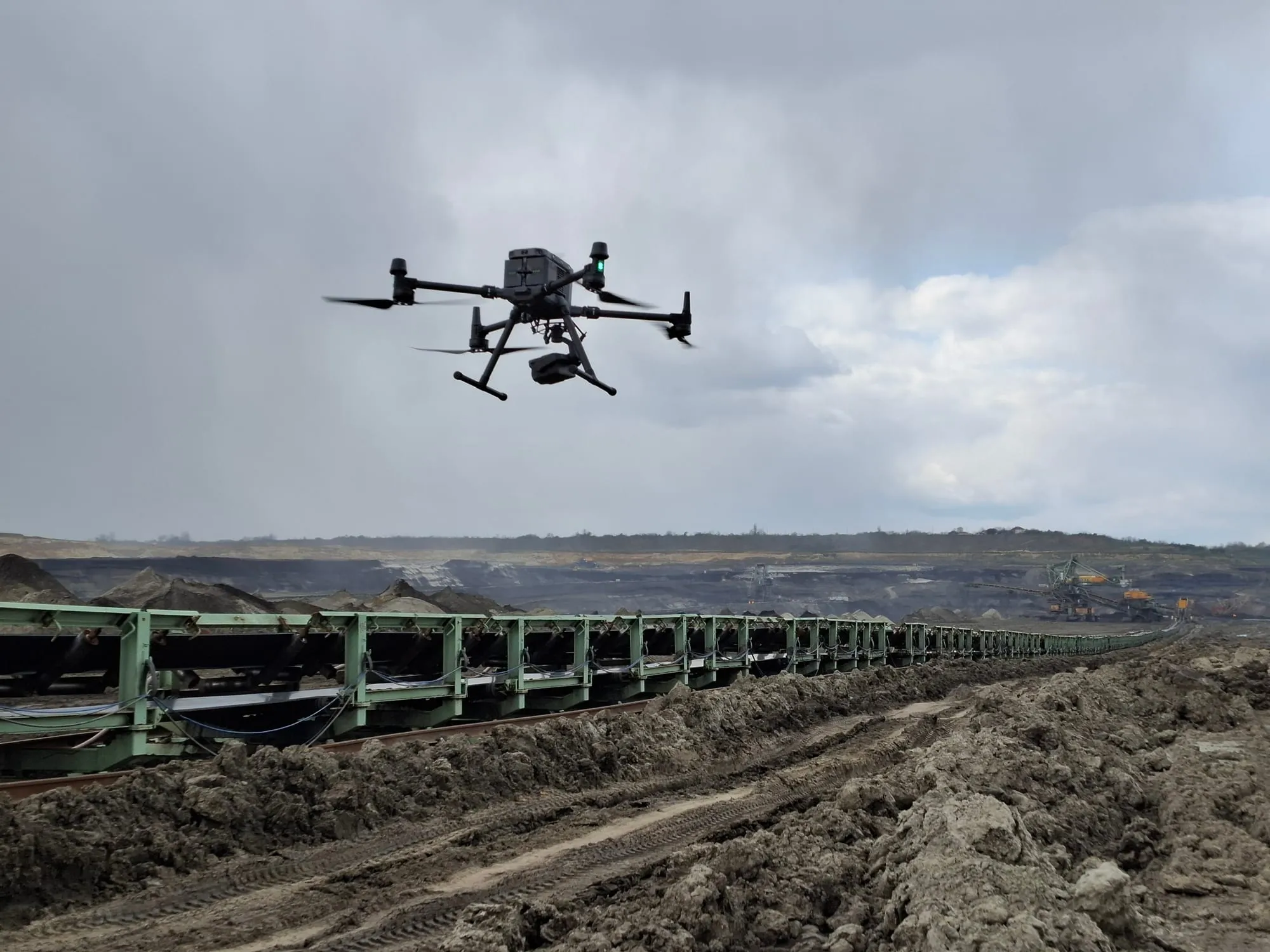
We fly open pits, structures and monuments, then build a 3D model from the capture. From the model we produce orthophoto and site maps as a design base.
The same method covers tall or inaccessible structures, and aerial imaging when a model is not required.
What the service includes
Drone survey
Photogrammetric capture of terrain and structures.
3D models
Models of open pits, cultural and historic monuments, and other structures that need a detailed model.
Tall or inaccessible structures
Condition surveys where access from the ground is difficult or unsafe.
Design bases
Orthophoto, site maps and other outputs taken from the 3D model.
Aerial imaging
Flights to inspect a condition when a model is not required.
How the work runs
01
Brief
What has to be seen and in which format it is delivered.
02
Flight
Capture on site, with access agreed in advance.
03
Processing
A model, orthophoto or site map, as agreed.
Questions
Before you write
Can the model become a design base?
Yes. We prepare orthophoto and site maps from the model as a base for design.
Do you survey monuments?
Yes. We build 3D models of cultural and historic monuments, not only pits.
What if the structure is inaccessible?
We survey the condition of tall or inaccessible structures from the air.
Related
Other services
01
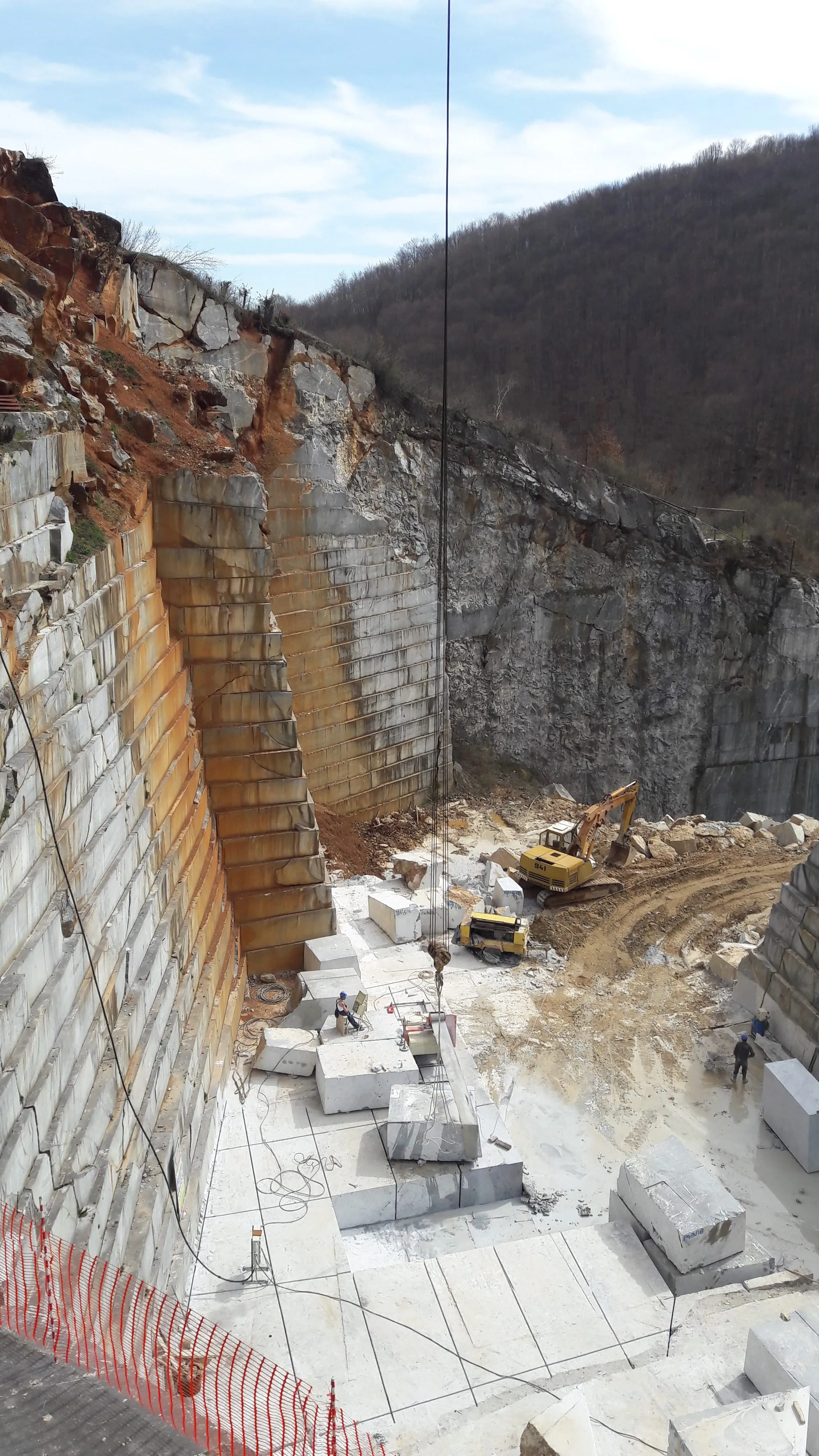
Mining projects
Main, supplementary, technical and simplified designs, plus the file for an exploitation approval.
Details →
02
Technical review
Technical review of mining designs, with a written finding.
Details →
03
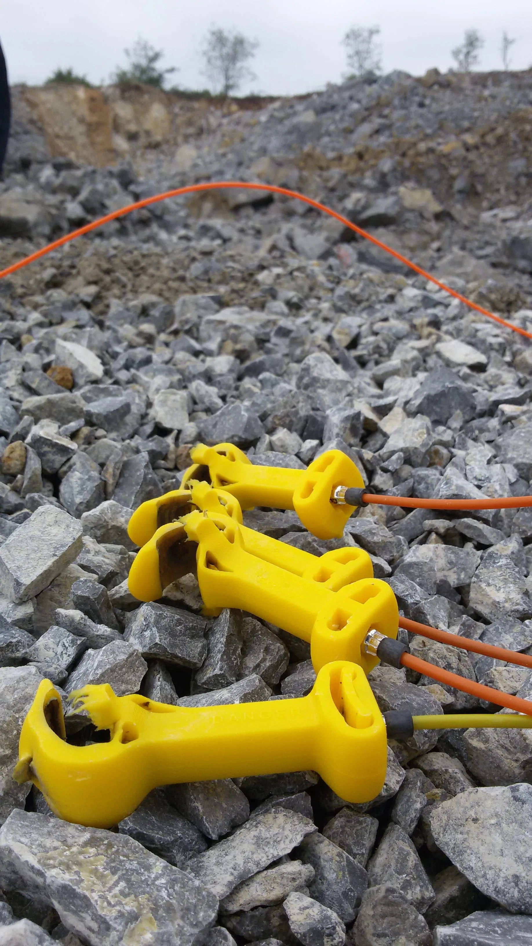
Blasting and vibration
Blast vibration measurement, impact studies and a review of drilling and blasting parameters.
Details →
Next step
Send the site and the type of service
We reply with a proposed scope. If the service is outside our offer, we let you know immediately.